Why the sea is the right way in
The Amalfi Coast faces the water. Its towns were built where a gorge reaches the shore, their houses stacked up the slope and their churches turned to the bay, and for centuries the sea was the road. Between the 9th and 11th centuries Amalfi was a maritime republic whose ships carried spices and fine cloth from Byzantium, North Africa and the Middle East; a tsunami destroyed its harbour in 1343, and with it the republic's sea power. UNESCO inscribed the whole coast as a World Heritage Site in 1997.
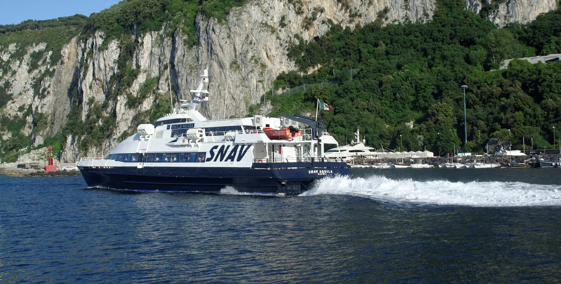
From Sorrento the boat has to go the long way round, and that is the point. The peninsula is the end of the Monti Lattari, a limestone ridge that splits the Gulf of Naples from the Gulf of Salerno, and to get from one to the other you round Punta Campanella, the cape where the Greeks kept a sanctuary of Athena and passing ships poured wine into the sea as an offering. Across the Bocca Piccola, a strait about 5 km wide and on average 70 m deep, Capri stands close enough to read its cliffs.
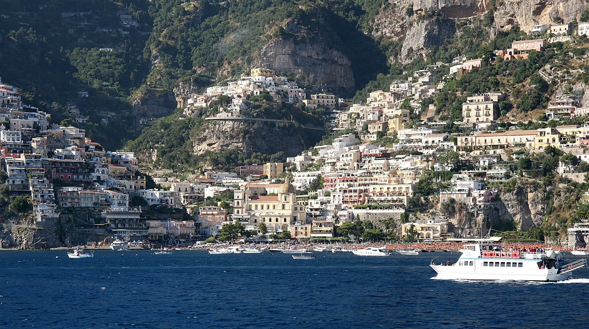
Then the other coast begins: bare limestone walls dropping into deep water, the three islets of Li Galli where the ancients put the Sirens, and Positano, which you meet head on from the water rather than in glimpses from a hairpin bend. The coast road above, the SS163, winds for about 50 km with one narrow lane each way, and in summer that road is the reason the boat is quicker.