Why this is one of the great crossings
Most of the way, this is a ferry ride through the Cyclades: a morning crossing to Paros, a short hop to Naxos past the marble gateway of Apollo's temple, the long blue stretch south. The reason people remember it comes at the very end, and it was made by a volcano.
In the Late Bronze Age, radiocarbon dated to 1627 to 1600 BC, Santorini blew itself apart in one of the largest eruptions since the last ice age, burying the town of Akrotiri under ash. The centre of the island collapsed, leaving the ring of Thera, Thirasia and Aspronisi around an empty bowl. Marine geologists who mapped the seabed found that the sea did not pour in during the eruption but afterwards, through a breach in the north: the water cut a channel 3 km long and 1 km wide and filled the caldera in less than a couple of days.
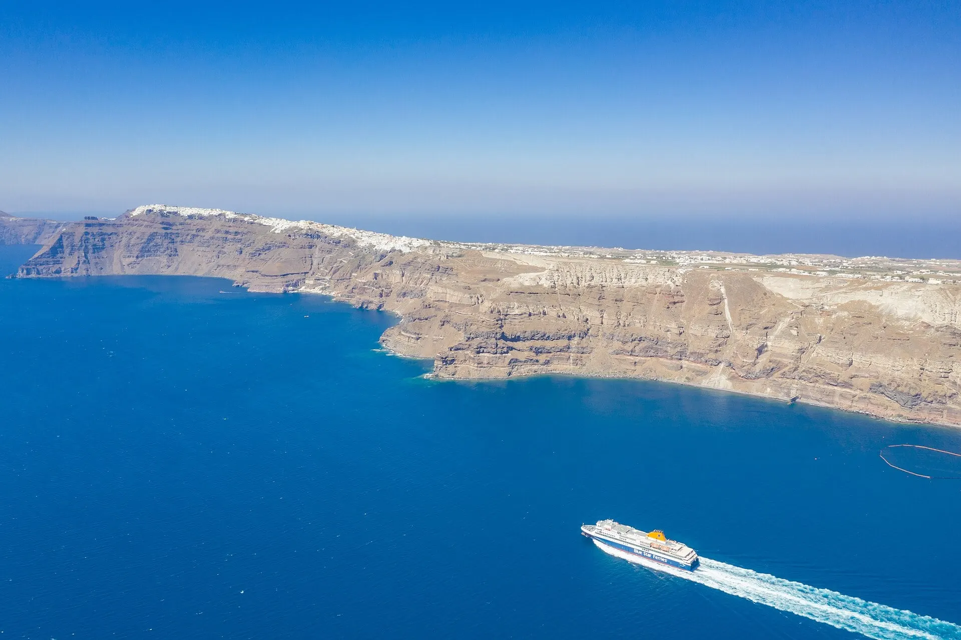
That breach is still the way in. Ferries coming down from the north pass between Oia and Thirasia and enter a basin about 10 km by 7 km, with the cliffs on one side and the black Kameni islands in the middle, built up by lava since the great eruption and last active between 1925 and 1950. A ship is the only way to see the caldera as a whole, from the inside, at the height of the water. Then it docks at Athinios, at the foot of the wall, and a road of hairpin bends climbs to the rim.