Why the sea route beats the road
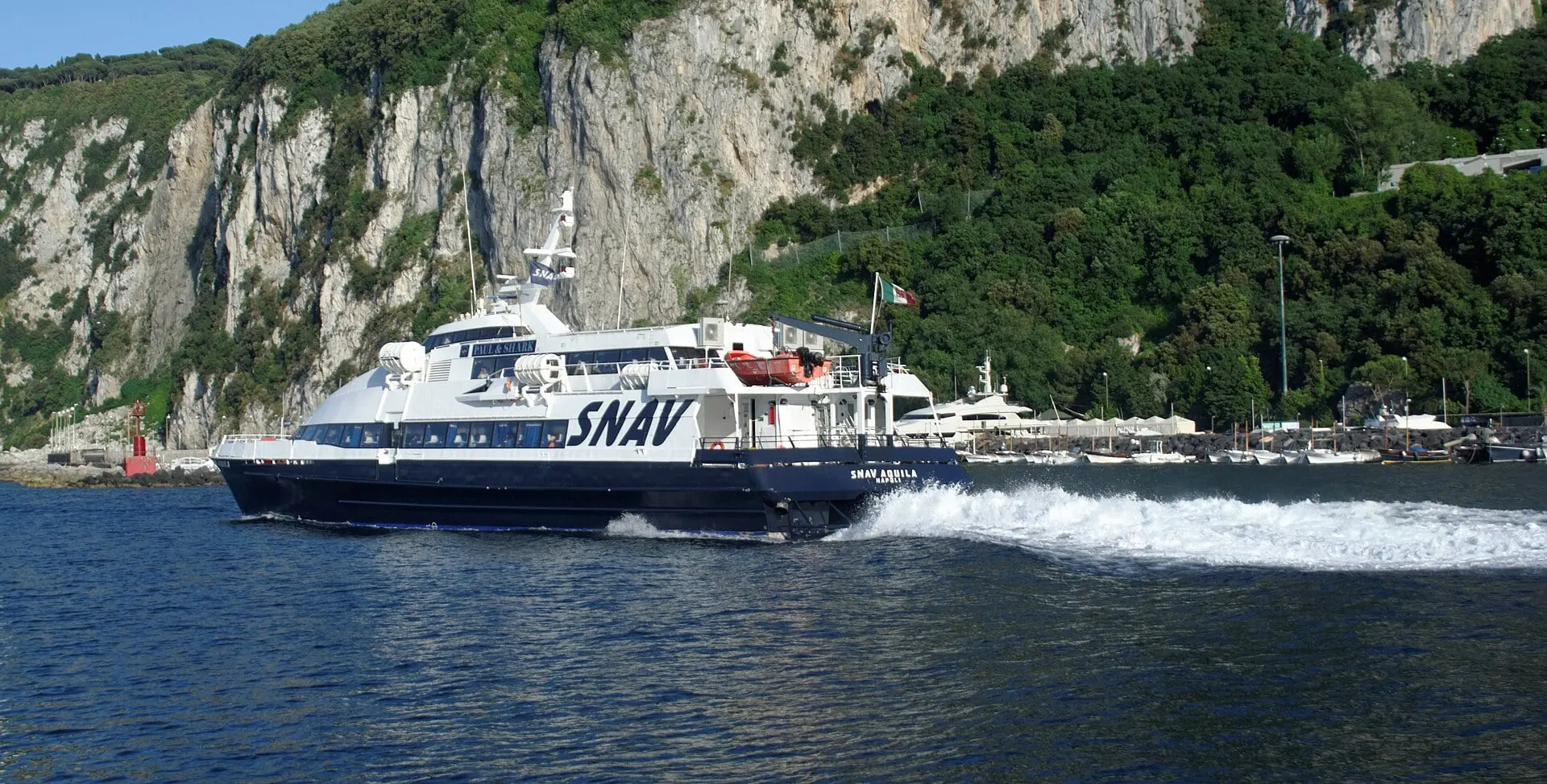
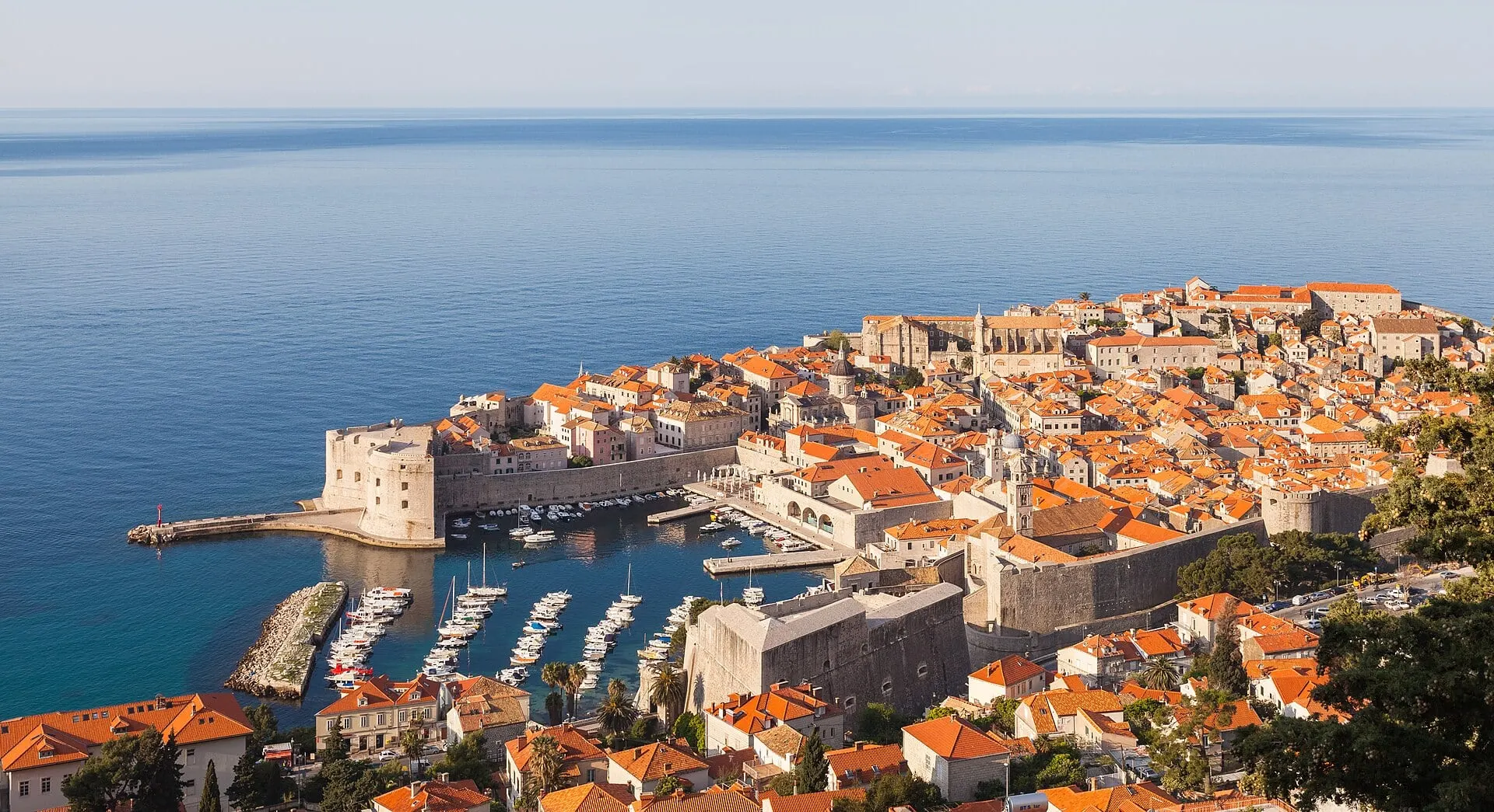
Dubrovnik was for centuries a city that faced the sea. Its port at Gruž appears in records from the 10th century, and during the war of 1991 to 1995, with the city under blockade, the harbour was its only link with the world. The catamaran arrives the old way, through the islands, and every stop is a harbour town that grew up on the same sea routes.
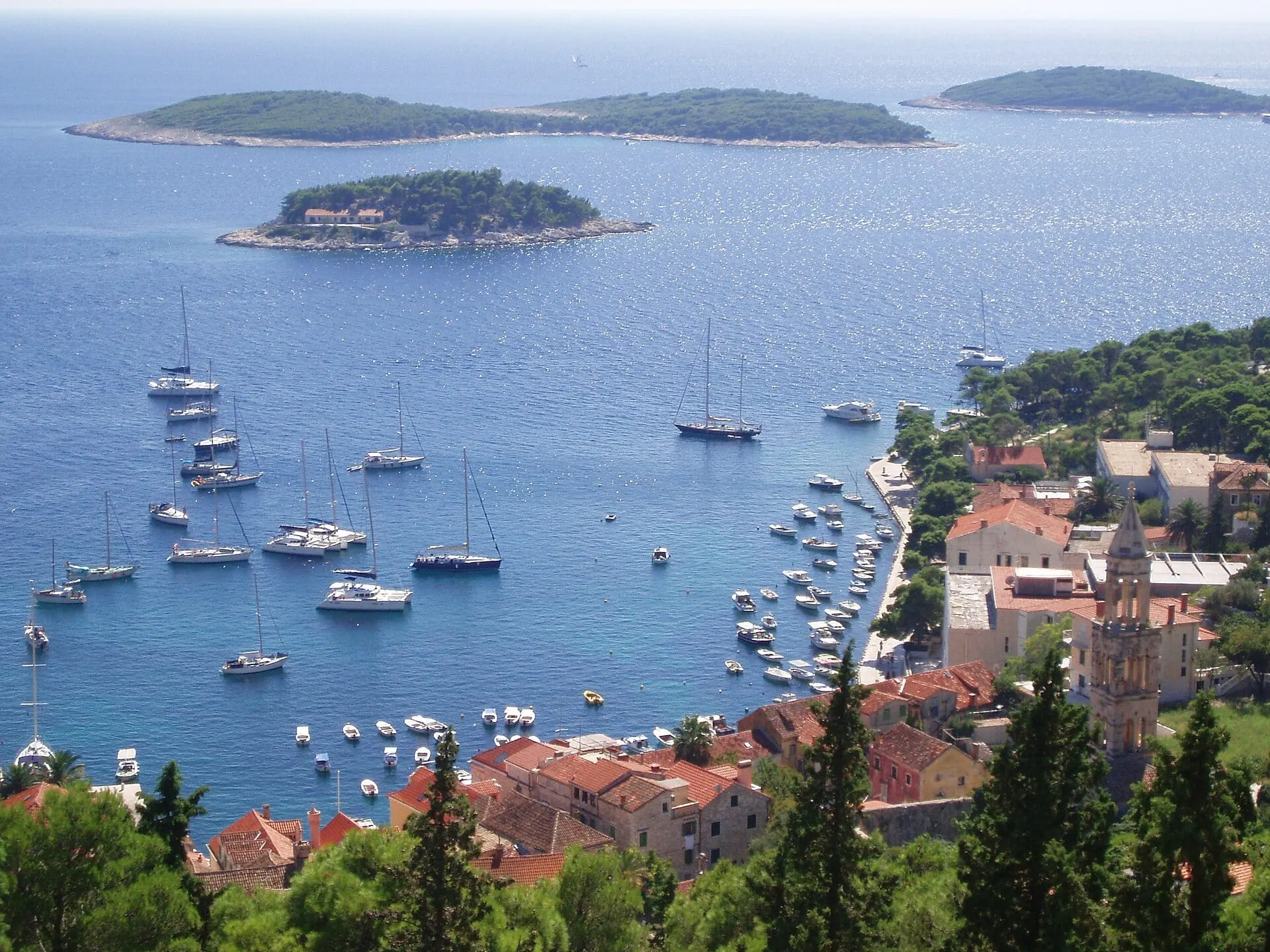
Hvar came under Venice in 1278, and its fortress was begun soon after. The arsenal on the harbour took its present form in 1611, and the theatre entered from the terrace beside it was founded the following year, the first public theatre in Europe by the town's own account. Korčula sits on a stub of land inside its walls, its streets laid out like a herringbone to let the air move through while sheltering the town from the prevailing winds. Mljet's Benedictines built their monastery on an islet in the Great Lake between 1177 and 1198, and the island passed to the Republic of Ragusa, Dubrovnik's old self, in 1410.
The road has its own geography to contend with. The D8 Adriatic Highway runs through Bosnia and Herzegovina at Neum, and since Croatia joined the Schengen area on 1 January 2023 that short stretch means an external border check on the way out and again on the way back in. Drivers can now skip it over the 2,404-metre Pelješac bridge, opened in July 2022. At sea there is no border at all: you leave Split from the waterfront below Diocletian's palace and step off within 3 km of Dubrovnik's walls, having watched four islands go by.