Why the Rhine Gorge is one of the great rail journeys
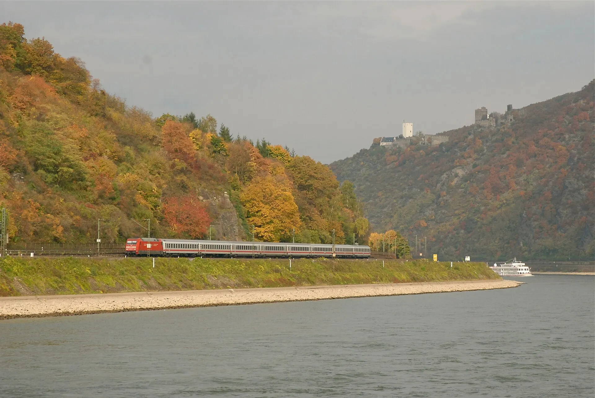
Between Bingen and Koblenz the Rhine runs for 65 km through a gorge it has cut into the uplands, and the river, a railway on each bank and some sixty small towns share a floor that in places is barely wider than the water. Where soft slate gives way to harder sandstone the valley pinches, and at the Lorelei the river is only 130 m wide and, at 20 m, at its deepest. UNESCO listed the Upper Middle Rhine Valley in 2002 as a cultural landscape made over two thousand years: a trade route between the Mediterranean and the north, its slopes terraced into vineyards and guarded by about forty castles built over a thousand years.
Most of those castles were ruins by the end of the wars of the seventeenth century. The Romantics brought them back. From the late eighteenth century painters, poets and composers came to the valley, and in the nineteenth Prussian princes rebuilt the ruins as they imagined the Middle Ages: Rheinstein after 1823, Stolzenfels from 1836 to plans by Karl Friedrich Schinkel. A few never fell. Pfalzgrafenstein has stood on its reef in midstream at Kaub since 1327, collecting tolls, and the Marksburg above Braubach is the only hilltop castle on the Middle Rhine that was never destroyed.
The railways came in the nineteenth century, one on each bank. The right-bank line, built so the Duchy of Nassau could reach the Prussian network, goes under the Lorelei in a 368 m tunnel dug between 1859 and 1861. The left-bank line stays at the water's edge, which is why it is the one to ride: the whole show, from the rock to the toll castle in the river, plays out across the water from your window.