Why the sea is the way to Positano
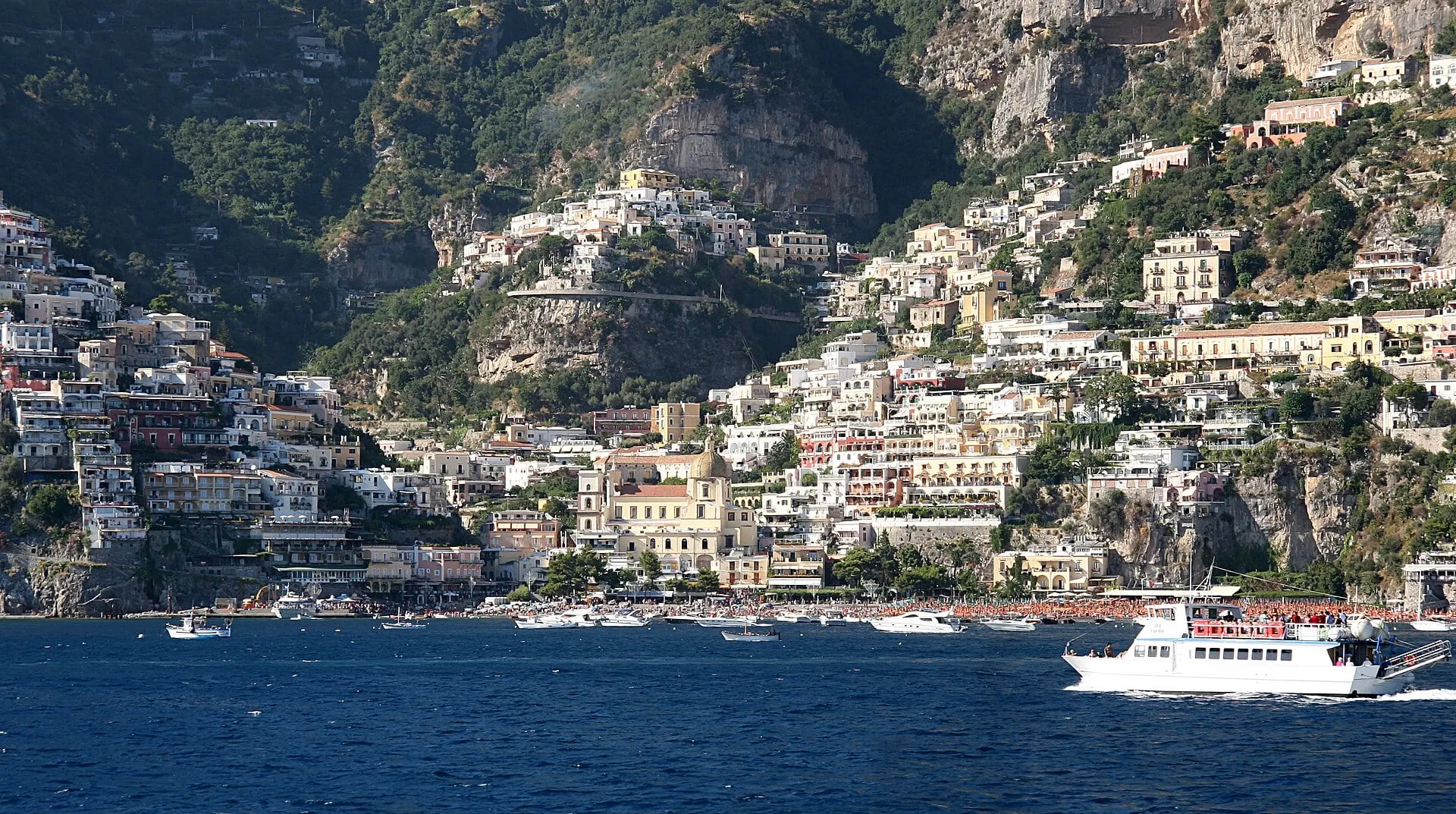
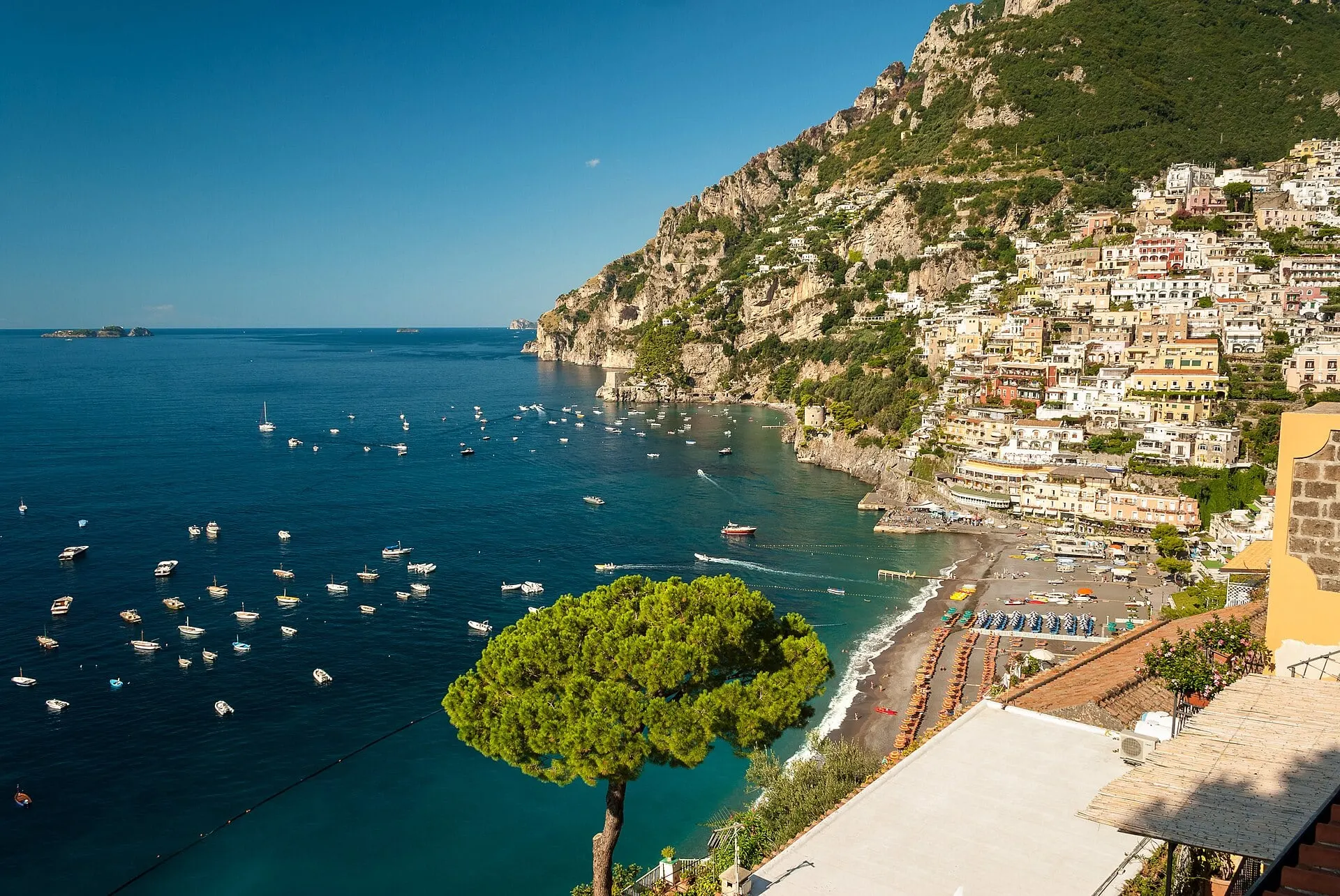
Positano faces the water, and so does the whole Amalfi Coast. Its towns were built where a gorge reaches the shore, their houses stacked up the slope and their churches turned to the bay, and for centuries the sea was the road. Amalfi, twenty minutes further on, was a maritime republic between the 9th and 11th centuries whose ships traded with Byzantium and North Africa. UNESCO inscribed the coast as a World Heritage Site in 1997.
From Naples the boat takes the long way round, and that is its gift. It leaves from Molo Beverello, below Castel Nuovo, in a port system that counted more than 8 million local ferry passengers in 2025, and heads straight across the gulf with Vesuvius standing alone to the east at 1,281 metres. Ahead lies the Sorrento peninsula, the end of the Monti Lattari, the limestone ridge that splits the Gulf of Naples from the Gulf of Salerno.
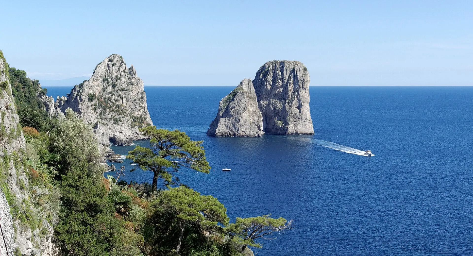
To get from one gulf to the other you pass Punta Campanella, where the Greeks kept a sanctuary of Athena and passing ships poured wine into the sea, and the Bocca Piccola, a strait about 5 km wide with Capri on its far side. Then the other coast begins: bare cliffs dropping into deep water, the three islets of Li Galli where the ancients put the Sirens, and Positano, met head on from the sea. Above it the coast road, the SS163, winds for about 50 km along the cliffs.